Glacier retreat and salmon futures (PhD)
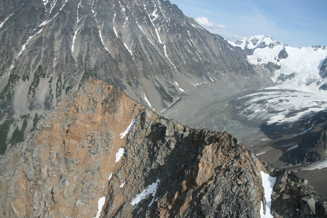
Climate change is driving deglaciation with potential changes for salmon populations. For example, approximately 75% of glacial ice area is projected to be lost in the British Columbia Coast Mountains by 2100. This loss of ice will expose new rivers and streams, alter river temperatures, sediment supply, and flow regimes. For this project, I am looking to review how glaciers and their recession could impact salmon and predict how productive salmon habitat may shift with glacial recession. This information will help enable forward-looking land-use and management decisions that consider the future distribution of productive salmon habitat.

Linking angler behaviour, fish and management from a steelhead trout fishery in the Skeena River Watershed (PhD)
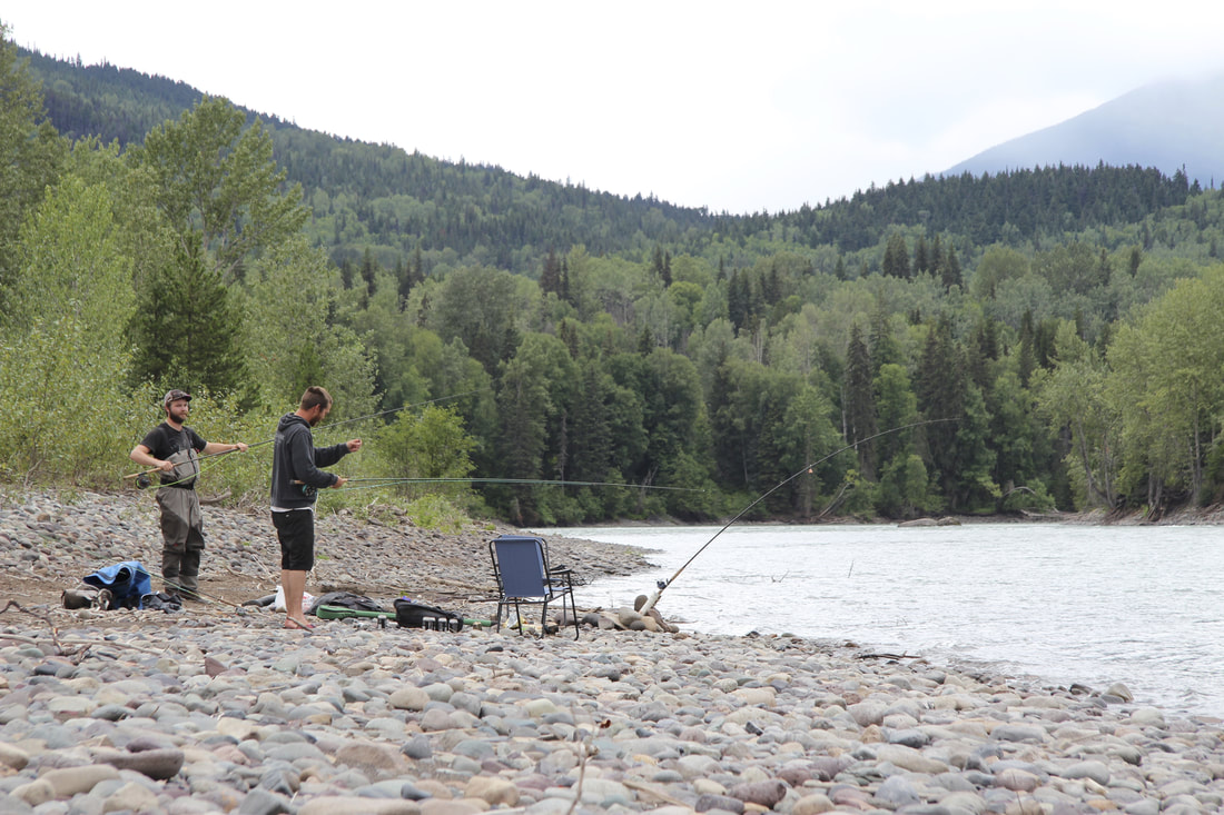
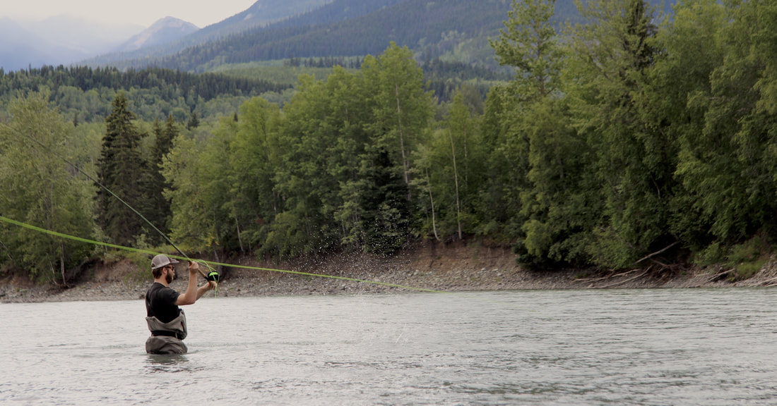
Fisheries are complex socio-ecological systems with multiple linkages between fish and fishers. For this project, we combined social science approaches and ecological analyses to examine how angler effort, catch, and satisfaction are influenced by annual variation in fish abundance, and a recent management intervention in a world-renowned catch-and-release steelhead trout fishery within the Skeena River Watershed, British Columbia, Canada.
We bring together powerful datasets collected, managed, or initiated by the Ministry of FLNRORD and local First Nations that span 17 years. We provide unique insight into the drivers of angler satisfaction, and success or unintended trade-offs of a management intervention. Fisheries such as this exemplify conservation challenges facing natural resource management and conservation.
We bring together powerful datasets collected, managed, or initiated by the Ministry of FLNRORD and local First Nations that span 17 years. We provide unique insight into the drivers of angler satisfaction, and success or unintended trade-offs of a management intervention. Fisheries such as this exemplify conservation challenges facing natural resource management and conservation.

Babine River temperature project (PhD)
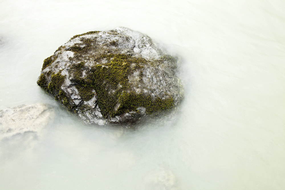
Cool tributaries that drain from high elevation landscape features (e.g. glaciers or snowfields) may play an important role in cooling water temperatures of downstream rivers during critical periods, such as the period of adult salmon migration.
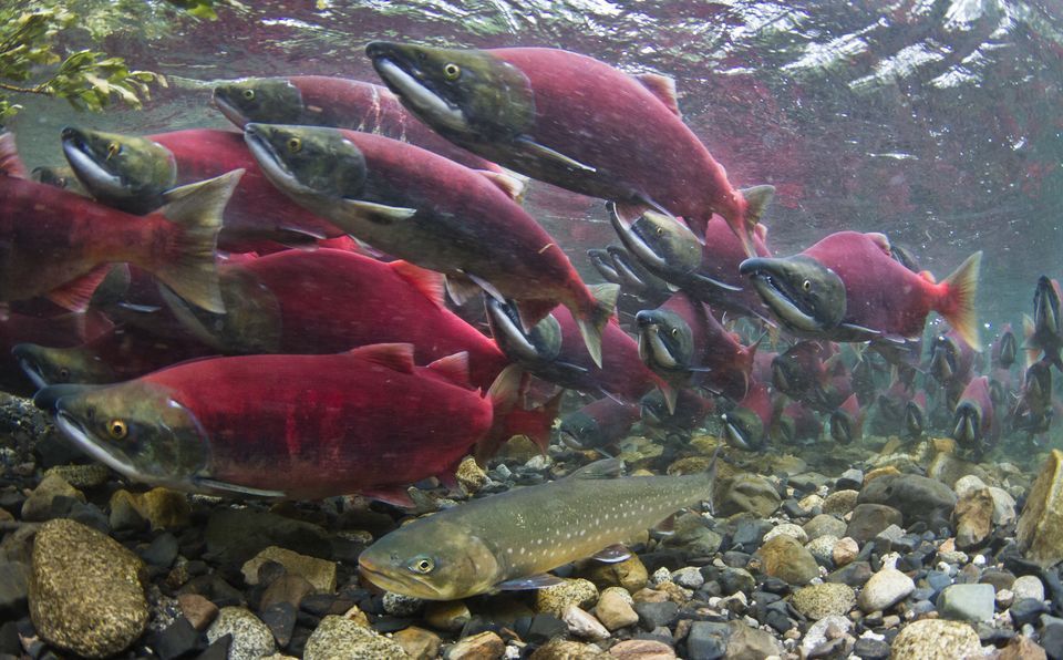
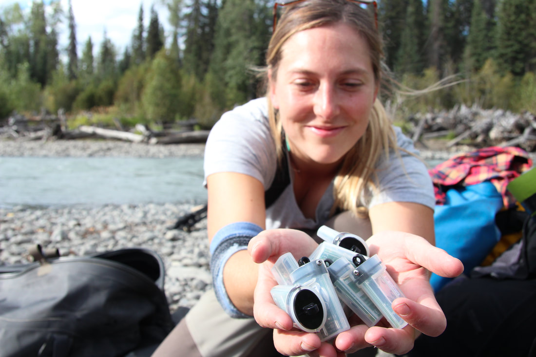
For this project, we deployed temperature sensors above, within, and below major tributaries and along the main stem of the Babine River home to 80-95% of the sockeye salmon in the Skeena River Watershed. At all tributaries where there are sensors we collected water samples for analysis. Oxygen and hydrogen stable isotopes (δ18O and δ 2H) within the water samples are used to trace the relative contributions of rain and snow from each tributary. Our goal of this project is to understand how water temperature from tributaries contributed to the overall Babine River temperature, and how the water temperature changed over the entire length of the Babine River.
This project is in collaboration with Gixtsan Watersheds Authority and Lake Babine Nation, with field work logistics help from Skeena Watershed Conservation Coalition (SWCC), Silverhilton and Babine Norlakes fly fishing lodges.
Read about the exciting field component of this project here!

Previous projects
|
Tree-ring derived Little Ice Age temperature trends (MSc)We created a continuous tree-ring chronology incorporating samples from both living trees and wood extracted from the bottom of a high-elevation lake located in the central Coast Mountains. The resulting tree-ring record, which extended from AD 1225-2010 provided the opportunity to reconstruct regional June-July air-temperature anomolies. Our reconstruction provides the first annual resolved insights into high-elevation climates spanning the Little Ice Age in the region and indicates that Little Ice Age moraine development corresponds to intervals of warmer-than-average temperatures.
Publication: Pitman, K.J and Smith, D.J. 2012. Tree-ring derived Little Ice Age temperature trends from the central British Columbia Coast Mountains, Canada. Quaternary Research 78: 417-426. |

|
A dendroclimatic analysis of mountain hemlock (Tsuga mertensiana) ring-width and maximum density parameters (MSc)This study highlights the importance of using multiple tree-ring parameters to showcase the complex growth behaviour in mountain hemlock tress. Maximum tree-ring density values provided a robust data series for constructing site-specific proxy records of late-summer temperatures. Annual ring-width measurements provided independent proxies of spring snowpack trends. By constructing a more robust proxy climate record, we showed significant decreases in temperatures and increases in snowpack depth during the early 1700s and early 1800s coinciding with documented PDO phases and Little Ice Age glacier advances.
Publication: Pitman, K.J. and Smith, D.J. 2013. A dendroclimatic analysis of mountain hemlock (Tsuga mertensiana) ring-width and maximum density parameters, southern British Columbia Coast Mountains, Canada. Dendrochronologia 31: 165-174. |